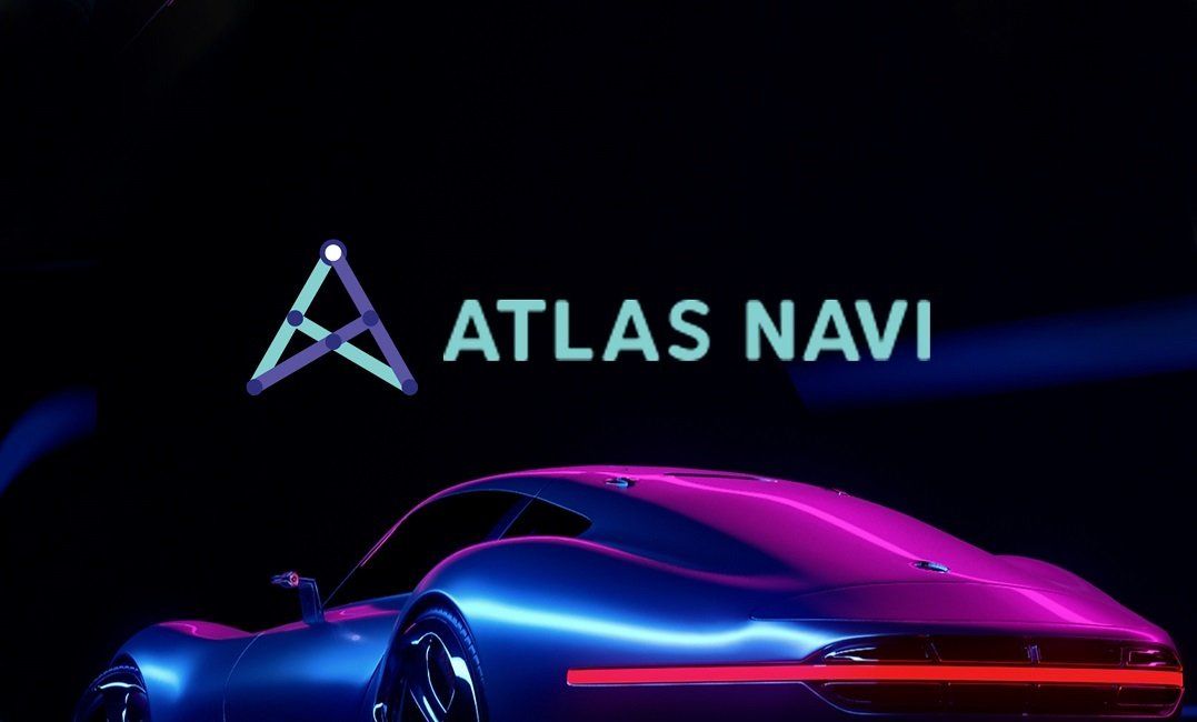
AtlasNavi Review - A New Project Landing at the intersection of A.I., Blockchain and NFTs
The new technologies give teams of developers many ideas of new blockchain products to launch on the market. Artificial intelligence (AI), NFTs and blockchain seem to be the driving forces in AtlasNavi.
AtlasNavi is a new project coming to the blockchain industry with clear ambitions. Our quick review will mention the project's key features without forgetting about analyzing the technological framework.
About AtlasNavi
AtlasNavi brings NFTs in the form of realistic 3D vehicle icons in a real-world utility AI Navigation app who’s goal is to make traffic faster for all drivers by using the cameras on the phone to “see” and “understand” the road ahead by detecting potholes, accidents, road work, available parking spaces, traffic in each lane and more. Users will be able to see their own 3D vehicle (and other users’ too) move on the map as they drive and will be rewarded with four main verticals:
- Drive-to-Earn: users collect crypto rewards as they drive their cars in the real world using the navigation app, providing real-world traffic data to the network which helps others navigate faster.
- NFT marketplace: users can earn, purchase or exchange miles driven for rare 3D vehicles which can be upgraded and traded with others.
- Brand Ambassador NFTs: users can become brand ambassadors for car brands, earning crypto whenever a 3D NFT car is sold under that brand.
- Play-to-Earn: by joining the digital dimension, the community will be able to join P2E racing games with their in-app vehicles and thus earn rewards.
The following subsections will provide the reader with more details about the project.
The P2E Dimension of AtlasNavi
In this case, we are talking about a drag racing game with a play-to-earn model using blockchain-based economics to reward players. The Racing and the Collectibles constitute the two primary components of AtlasNavi Racing Game. The vehicles used in the game will be the ones the user has purchased as an NFT with the $NAVI token in the main AtlasNavi app.
Rare virtual cars are part of the Collectible category, and the team expects to create hype through this NFT group. Non-fungible token collections can benefit from adding non-standard features to the cars designed to enhance them.
The player can drive their Collectible Cars around a variety of different tracks, competing against other players for weekly rewards. The users control their race car's acceleration, gear shifting, and braking from a 3D perspective.
AtlasNavi's currency, the $NAVI token, will come with a variety of features, including:
- the ability to attend races
- the possibility to enhance a vehicle's power and appearance
- the faculty of buying or trading other vehicles.
Understanding the Future by Looking at the Past
We need to go back a little to see how the AtlasNavi team came up with the concept.
Over the last 10 years the team behind AtlasNavi has made a successful business out of developing and licensing software for the transportation industry, mainly around mobility sectors such as: ride share and taxis, fleet management, dispatching, car pooling, car sharing, private ambulance dispatching and a lot more. With over 6 million downloads of the apps developed for their clients and over 250 million orders processed on their platform, the team has the experience to build popular products with real utility and profitability.
In 2019, the team began working on a new navigation app, envisioning the future of this industry by using computer vision and A.I. algorithms. The following year brought innovation funding grants worth over $1.2 million from the European Union.
AtlasNavi's development moved forward toward the development of the navigation apps in 2021-2022.
What can AtlasNavi Do?
The app uses the cameras on your smartphone like a dashcam, working in the background whilst the user sees the navigation instructions on the main screen, as he drives on his daily routine. The A.I. algorithms capture what the camera sees and analyze in real time, searching for traffic buildup, potholes, road construction, available parking spaces, accidents and, soon enough, police vehicles. No manual reporting of these is necessary (although it is optional), as the system does all the work in the background.
The app allows the user to have the video recorded and shared with friends and a new feature being tested right now even allows live streaming of what you’re seeing through your windshield to your friends and family. Taking a snapshot of what’s in front of you is as easy as pressing a button inside the navigation app.
The team also promises that the visual road and event analysis will help users avoid traffic, since the detections sent from all the drivers help to reroute others on the same path, depending on their relevance. The app also includes functionalities that will alert the driver of any collisions ahead.
Group trip is another feature that has a lot of potential: organizing a multi-car road trip where drivers can see where each of the group members are and communicate through a walkie-talkie type of functionality seems to be highly anticipated by the community.
What do We Know About the $NAVI Token?
In order to ensure the long-term commitment of the project's founders, the team agreed to lock all its tokens for a year. As typical in this industry, the team will keep a part of the tokens (9%). For the $NAVI token, there will be a maximum supply of 300,000,000 $NAVI coins.
The remaining part of the tokens will go to advisors (4%), liquidity (6.67%), marketing (15%), further development including the racing game (16.67%), rewards (20%), and $NAVI private and public sale rounds (28.66%).
As is customary, the token's offering price will rise with each selling phase. Specifically, the seed phase allocated $NAVI at $0.025 per unit, whereas the IDO will increase this value to $0.1 per one $NAVI token.
The Technological Framework
The project's technological system relies heavily on the Atlas Object Detection Engine. This “detections' brain” can run AI algorithms offline, in real time, on the smartphone. It communicates with the server only when needed to send avoidable events, such as accidents or traffic buildup on different lanes, available parking spaces and others.
AtlasNavi's team publicly explained how their algorithms scan, analyze, and store videos or road traffic reports. The same is true for a long list of objects, such as obstructions and free parking spots.
Throughout the whole review, we only mentioned the mobile app of AtlasNavi. The reason why we did that is that the team puts smartphones at the core of their project.
As argued by AtlasNavi’s creators on their official website, this decentralized method of data analysis allows the network to operate efficiently.
Our Conclusions
AtlasNavi will enter the market with the ambition of leveraging AI technology, blockchain and NFT vehicles that are licensed by the manufacturers. As we know, AI systems are as good as the data they use for their training. The team listed a series of advanced technological tools that can appear promising to some investors. The training data used was put together by the development team and also sourced from Waymo, under license, the team being an approved licensee of Google’s self driving unit.
We will monitor AtlasNavi’s progress in the following months, with the team planning to complete several ambitious milestones.